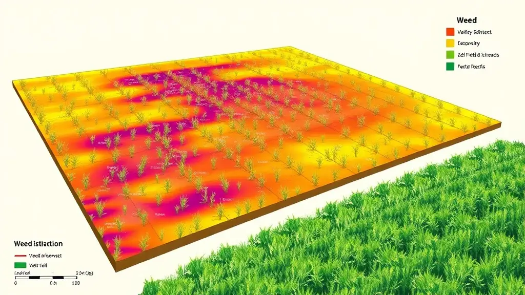
Weed mapping is an essential tool for modern farmers looking to manage their fields effectively. By utilizing advanced imaging technology, farmers can identify and map weed infestations across their fields. This information is invaluable for making targeted decisions about weed control measures. Instead of applying herbicides uniformly across the entire field, farmers can focus their efforts on areas with the highest weed density.
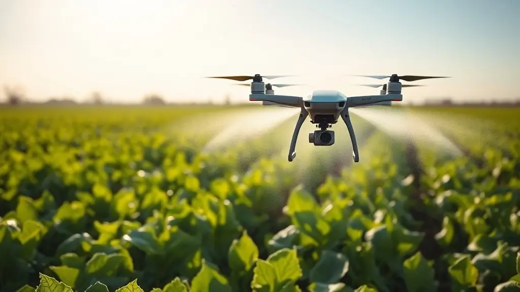
The process of weed mapping typically involves using drones equipped with specialized cameras that can detect differences in plant health. These drones capture images that are then analyzed to create detailed maps of weed locations. This technology not only saves farmers money by reducing the amount of herbicide used but also minimizes the environmental impact of chemical applications. By applying treatments only where necessary, farmers can promote healthier ecosystems.
Moreover, weed mapping contributes to better crop yields by allowing farmers to maintain optimal growing conditions for their crops. By controlling weed populations effectively, farmers can ensure that their crops have access to essential resources such as sunlight, water, and nutrients. As the agricultural landscape continues to change, weed mapping is becoming an indispensable tool for successful farming.